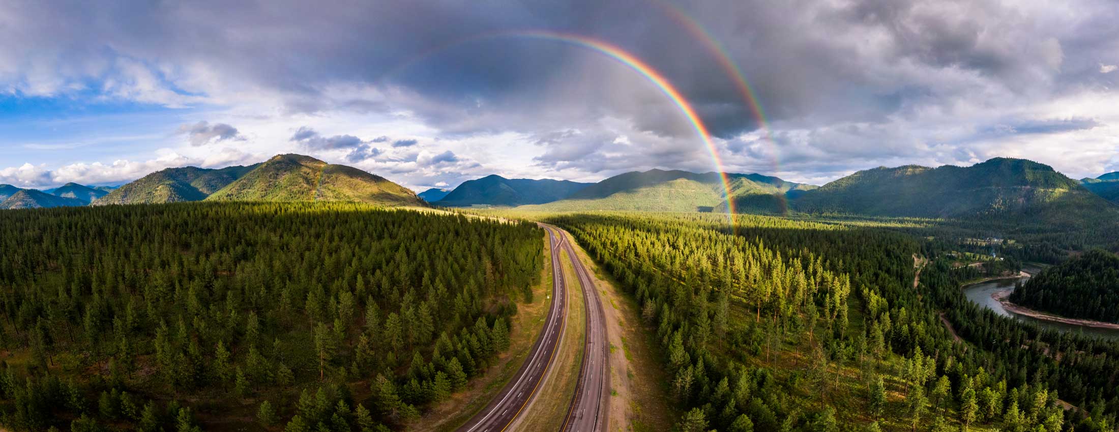
Getting lost in nature is an adventure. Getting lost on our site? Not so much.
We hope one of the results below helps you find the page you are looking for. You can also search our site below.
We hope one of the results below helps you find the page you are looking for. You can also search our site below.
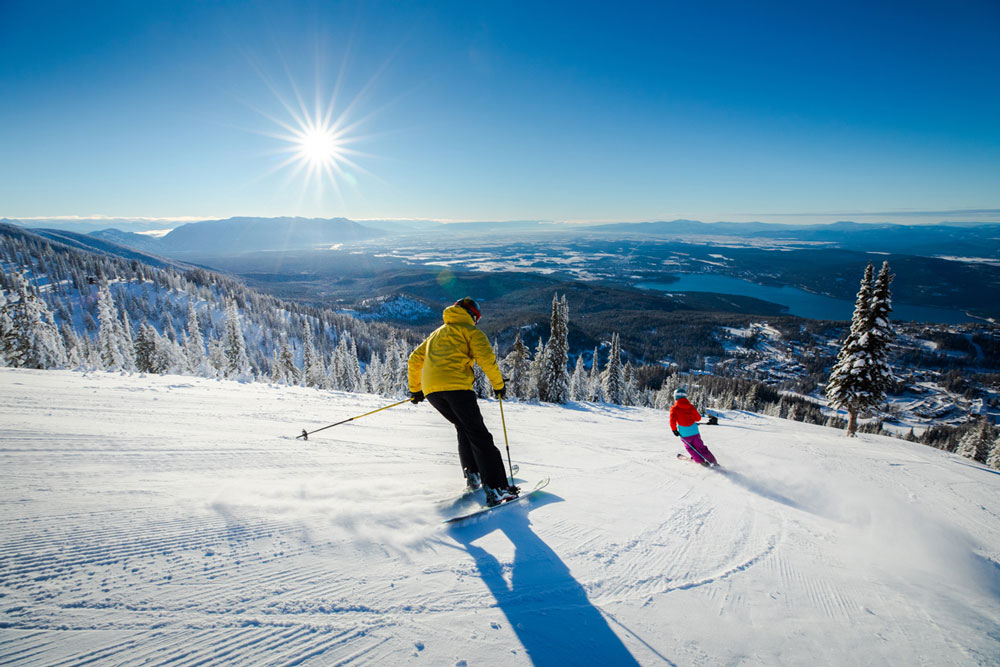
Western Montana delivers stand-out skiing at Whitefish Mountain Resort—ranked No. 3 Top Ski Resort in the West by SKI magazine. The...
Read more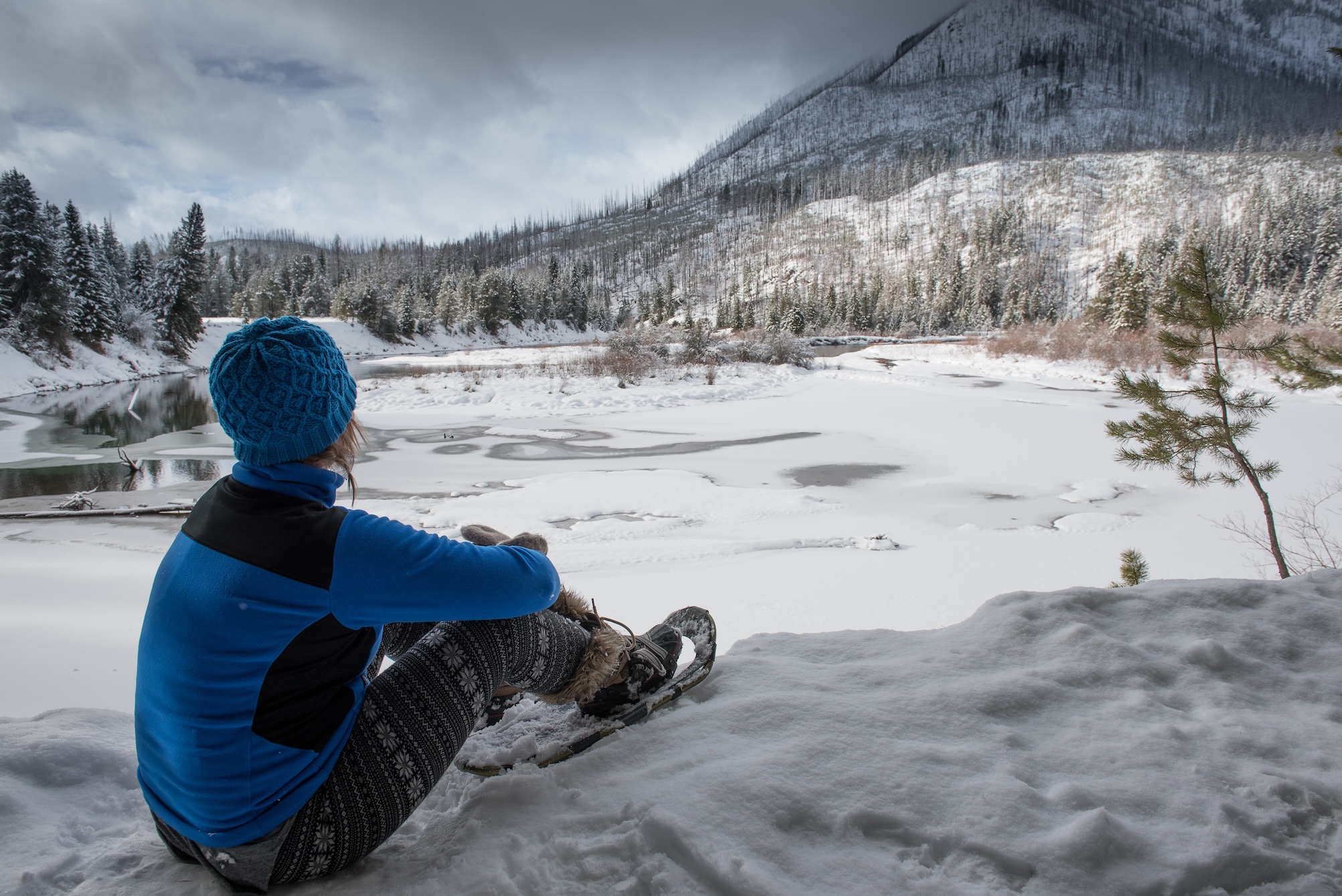
Winter in Glacier National Park offers quiet, snow-filled adventures—wildlife watching, peaceful trails and wintry landscapes. Preparation is key this time...
Read more
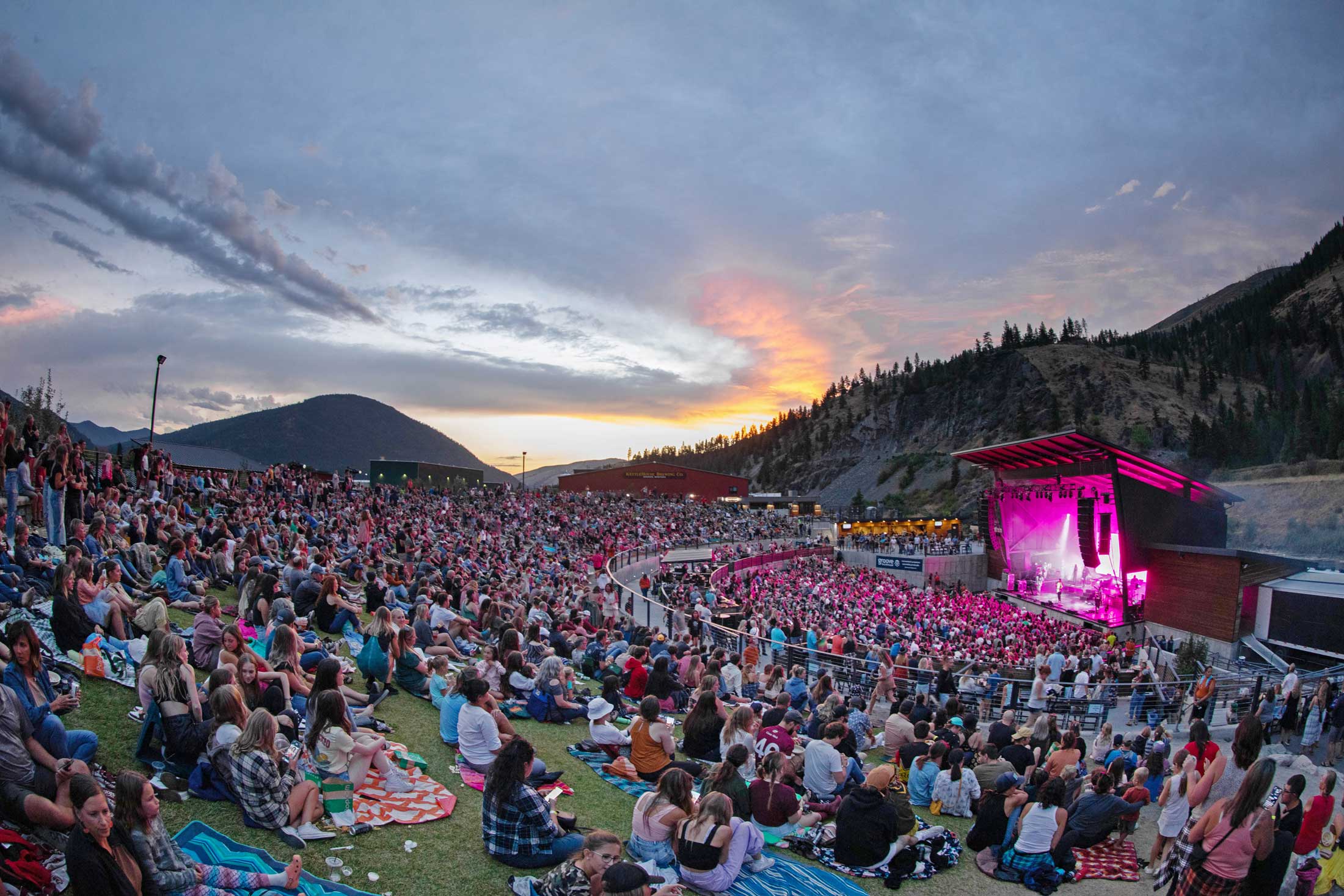
Nature isn’t the only thing putting on a spectacular show in Western Montana’s Glacier Country. The region attracts talented performers,...
Read more
The holiday season in Western Montana is pure magic. Small towns across Glacier Country come alive with sparkling lights, festive...
Read more